NWS Says to Expect More Winter Weather Starting Mid-week
TWIN FALLS, Idaho (KLIX) – Expect snow to return mid-week in parts of the Wood River Valley and southeast Idaho.
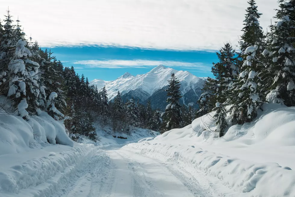
Six to 12 inches of mountain snow is expected Wednesday through Friday, making “extremely difficult travel” in all of the affected locations, according to the National Weather Service.
Areas affected include the Sawtooth highlands, Upper Snake highlands and south-central highlands, including the Big and Little Wood River region. Cities affected include Bellevue, Hailey, Ketchum, Stanley, Ashton, Clayton, St. Anthony, Island Park, Driggs, Victor, Malad City, Rockland, Henry, Soda Springs, Downey, Lava Hot Springs, Montpelier and Mackay.
“Moderate to heavy snowfall will accumulate on roadways resulting in slick surfaces and reduced visibility,” according to the NWS. You might start seeing the flurries late Wednesday morning, which could continue through Friday, with "locally higher amounts to around 18 inches.”
“A winter storm watch means there is a potential for significant snow, sleet or ice accumulations that impact travel,” the NWS says. “Continue to monitor the latest forecasts.”
The lower Treasure Valley, western Idaho and parts of the Camas Prairie also will be affected by winter weather, with the possibility of four to 10 inches of snow falling late Tuesday night through Wednesday evening. There also is the possibility of freezing rain, making roads and highways even more dangerous for travel.
“The changeover from snow to rain or freezing rain is expected to occur Wednesday evening,” according to the NWS.
More From 98.3 The Snake