
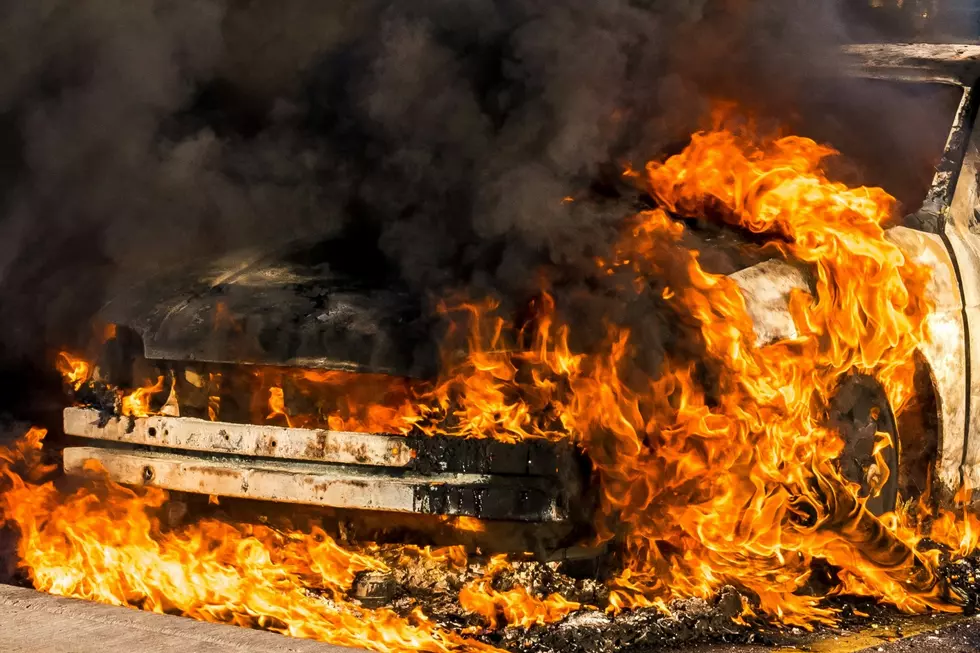
Two Recent Fires Reportedly Caused By Idaho Highway Accidents
Two of the six serious accidents reported by the Idaho State Police over the weekend resulted in wildfires.
One fire started after a semi-truck hit a Jeep on the highway between Boise and Mountain Home, and the second fire started after a pickup truck hit another pickup truck into a power pole near Blackfoot.
Recent Fires Caused by Idaho Car Accidents
According to the accident reports from the Idaho State Police, the fire in Ada County was a small brush fire in a field near the accident, and it was quickly extinguished. The fire was started by an accident on I84 near mile marker 66 around 7:30 PM on August 7th. The ISP report stated that the accident was caused by:
- A 2026 Peterbilt, driven by a 31-year-old male from Tulsa, Oklahoma was travelling eastbound on I-84.
- The Peterbilt left the roadway and collided with a 2009 Jeep Wrangler, occupied by a 40-year-old male from Boise, Idaho.
The semi-truck came to rest in a field, and the Jeep ended up on its passenger side on the highway shoulder.
READ ALSO: 3 Killed, 3 Injured in Idaho Weekend Accidents
On August 8th, on the other side of the state, near Blackfoot, an accident between two pickup trucks started a fire that burned at least 248 acres. The police report for that accident states:
- A 2018 Nissan Titan, driven by a 26-year-old male and a 24-year-old passenger female from Blackfoot, Idaho was traveling southbound on N 700 W.
- A 2010 Ford F150 driven by an 18-year-old female from Blackfoot, Idaho was driving eastbound on US26.
According to the report, police believe the Nissan failed to yield at the intersection and hit the Ford, pushing it into a power pole near the intersection of US26 and N 700 W.
The fire near Blackfoot is showing on the Western Fire Chiefs wildfire map with 248 acres burned. The latest update for that fire was shortly after it started on August 8th.
Which Fires Are Causing the Most Smoke in Twin Falls, Idaho
The air quality across Idaho over the last few weeks has been a rotating door of unhealthy for sensitive groups and unhealthy for anyone for prolonged time. Currently, Twin Falls is listed as unhealthy for sensitive groups.
We have fires all around us causing poor air quality in the Magic Valley. The Western Fire Chiefs wildfire map has an option to show airflow to see which fires are sending smoke our way, and while the Big Grass fire is large and near us, it may not be the key fire causing the smokey haze over Twin Falls.
With the wind direction option toggled on the map, it looks like a good amount of the Big Grass fire is being pushed south of us and the smoke for the dozens of wildfires in Oregon are funneling along the I84 corridor across Boise, Mountain Home, and Twin Falls.
It also looks like the winds (and smoke from Oregon, California, and Southern Idaho wildfires) meet up in Utah, west of Snowville, where they are then pushed northeast.
Disclaimer: Wind speeds and directions will change from the time this story is published. For the most accurate and up-to-date information. Check a reputable aggregated source or the WFCA wildfire map.
How to Protect Yourself from Wildfire Smoke
Gallery Credit: Unsplash/TSM
