Idaho Lake Flooding Caused by March Earthquake
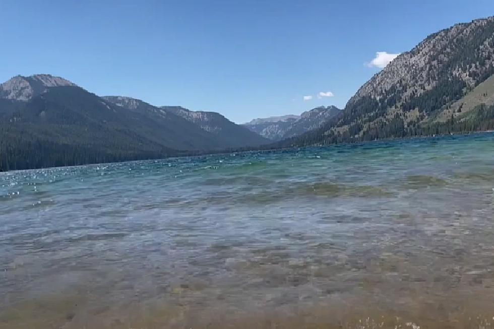
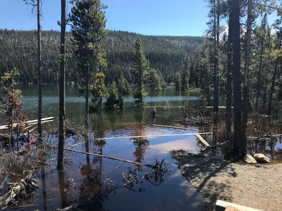
STANLEY, Idaho (KLIX)-Recent flooding at a popular mountain lake in the Idaho mountains has been attributed to the 6.5 earthquake that shook the state at the end of March. On Saturday, the U.S. Forest Service-Sawtooth National Forest announced observers noticed an old boat launch, beach and fishing spot was flooded at the Stanley Lake inlet.
The Idaho Geological Survey reviewed satellite images of the area before and after the earthquake and determined the flooding was a result of the March 31 earthquake. “The most probable cause for the “disappearing” of the inlet delta is a combination of liquefaction and compaction of saturated sediments and some possible sliding and lateral spreading on the delta toward the deeper part of the lake as a result of the March 31 earthquake or the associated aftershocks,” said Claudio Berti, Director and State Geologist, Idaho Geological Survey in a prepared statement.
To this day multiple smaller earthquakes have been registered in the area following the March event. The quake centered about 20 miles northwest of Stanley was felt in much of southern Idaho and in some neighboring states. Managers with the Sawtooth National Recreation Area say the boat ramp and campground was relocated before the area was flooded and the fishing spot was the only loss.

More From 98.3 The Snake