Approaching Cold Front Expected To Bring Snow To Twin Falls ID
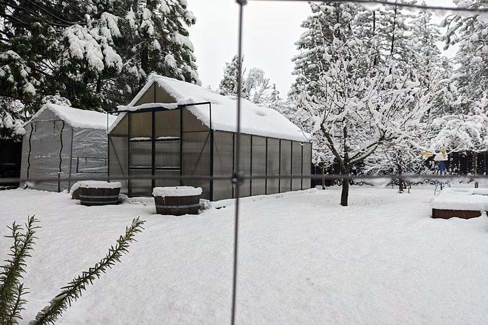
Following weeks of relatively dry conditions in the Magic Valley, an approaching cold front will likely result in snow flurries for southern Idaho the week leading into the Daylight Saving Time switch.
Current weather tracking for southern Idaho is indicating the region will receive at least one more round of snow in the course of the current extended 14-day forecast. Multiple websites such as weather.com and theweathernetwork.com are predicting better than good odds of snowfall for the region beginning March 9 and continuing for up to 48 hours.
Evening temperatures for the Magic Valley will average the low twenties during this time period, with daytime highs near 39 degrees. Daylight Saving Time will commence at 2 A.M., on Sunday, March 13. This means clocks will switch one hour ahead for the anticipation of spring.
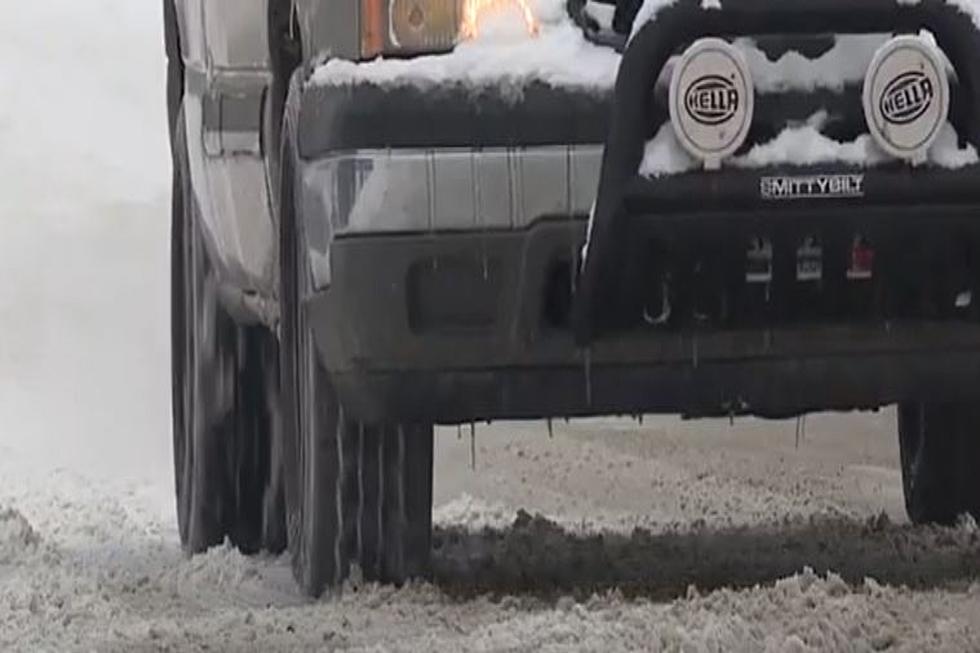
The Idaho Transportation Department recently shared information online regarding safe driving in times of snowfall. Slowing down, carrying chains, and paying close attention to visibility are all recommendations by the department for safe commuting during winter weather storms.
The weather for this weekend in the Magic Valley is calling for mostly sunny conditions and highs in the low to mid-30s. Overnight lows will drop down into teens and low-20s.
This approaching weather system could be the last of the winter to bring snow to the surrounding mountains and resorts. Remember to carry chains when traveling to higher elevations. You can follow the path of the expected cold front, and monitor snow accumulations by clicking here.
One Reason To Be Excited For Winter In Idaho
Gallery Credit: credit YouTube
if you use this gallery you also need to place the video in your story or at the bottom somewhere - https://www.youtube.com/watch?v=EBoX-avgpQY
Dierkes Lake Frozen In Winter

More From 98.3 The Snake